Thinking about living in Burnsville but worried about the daily drive? You’re not alone. Commuters choose Burnsville for its south-metro location, flexible transit options, and day-to-day convenience. In this guide, you’ll learn realistic drive times, how the METRO Orange Line and express buses work, and what neighborhoods and housing types fit a commuter lifestyle. Let’s dive in.
Where Burnsville fits in the metro
Burnsville sits in Dakota County on the south side of the Twin Cities, along the Minnesota River valley bluffs. You get suburban neighborhoods, a mixed-use downtown known as Heart of the City, and regional retail nodes. Many residents work in downtown Minneapolis, at the airport, or in nearby south-metro employment centers.
Commute routes and drive times
Major roads you will use
- I-35W is the primary route to downtown Minneapolis.
- County Road 42, County Road 11, and other arterials connect you across Burnsville and to I-494 and Mall of America corridors.
- Local arterials feed into park-and-ride lots and transit stations, which can shorten the car portion of your trip.
Typical drive times
- Downtown Minneapolis: about 20 to 35 minutes without heavy congestion; longer during peak periods.
- Minneapolis–Saint Paul International Airport (MSP): generally 20 to 40 minutes, depending on route and time of day.
- Expect variability during rush hour on I-35W. Check real-time tools and try your route at your typical commute time.
Winter and peak-hour tips
- Snow and ice can extend commute times. Plan extra time during winter weather and check MnDOT conditions.
- Peak-morning southbound and peak-evening northbound traffic can slow you down. Consider mixed-mode options like park-and-ride plus BRT during those windows.
Transit options that work
METRO Orange Line BRT
The METRO Orange Line runs along the I-35W corridor with limited stops and frequent service to downtown Minneapolis. It is a major asset if you prefer to avoid rush-hour driving. Many commuters pair a short drive, bike, or walk to a station with the Orange Line for a predictable trip.
Express buses and park-and-ride
Metro Transit operates local routes and peak-time express service to Minneapolis and other destinations. Park-and-ride lots in Burnsville make it easy to leave your car and ride. Capacity and timetables vary, so check current schedules and availability for your specific hours.
Connections to light rail
If your destination sits along the Blue Line, you can drive or connect by bus to Mall of America and transfer to light rail. This can be a good option for airport or Bloomington-area commutes.
Biking, rideshare, and carpool
Local trails and bike lanes support short rides to errands and stations. Long bike commutes to downtown are less practical due to distance and freeway geometry, but biking the first or last mile works well. Rideshare and carpools help fill gaps on off-peak schedules.
Daily life between commutes
Parks and recreation highlights
- Buck Hill offers downhill skiing and snowboarding in winter, with other seasonal activities.
- Riverfront parks and regional trail links provide space for walking, riding, and birdwatching along the Minnesota River.
- Neighborhood parks, lakes, and city programming support team sports, playgrounds, and community events.
Shopping, dining, and entertainment
- Burnsville Center remains a regional retail node with a variety of stores.
- Heart of the City features restaurants, local shops, and multifamily living in a walkable setting.
- Big-box corridors and grocery options line major arterials, and Mall of America is a short drive for additional dining and entertainment.
Schools and services
Burnsville is served by the Burnsville–Eagan–Savage School District (ISD 191). School assignments vary by address, so review district boundary maps before you buy or rent. You’ll find a typical suburban network of clinics, urgent care, and nearby hospitals across the south metro, along with city-run community centers and libraries.
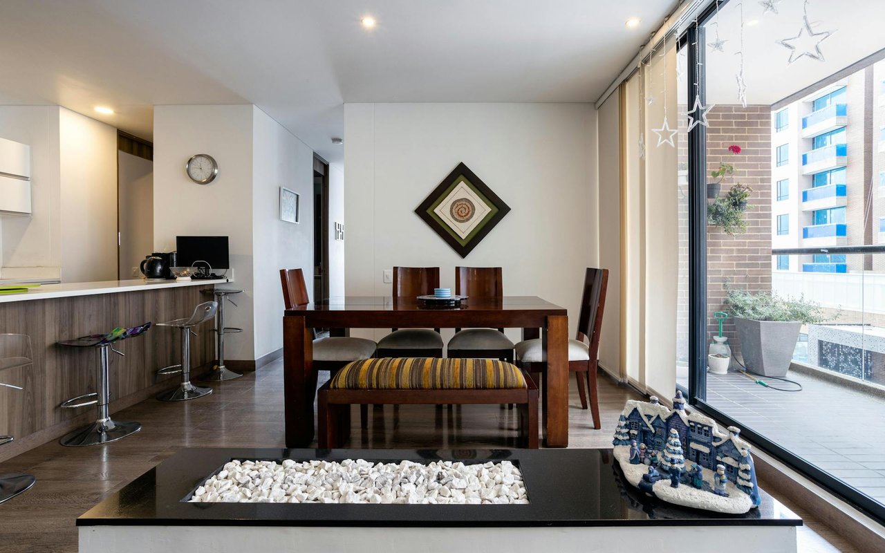
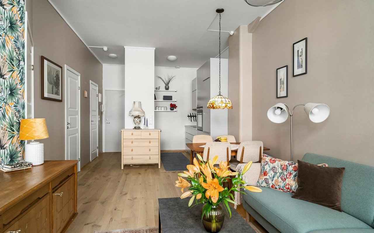
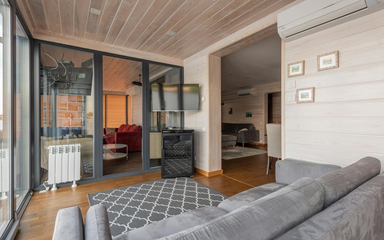
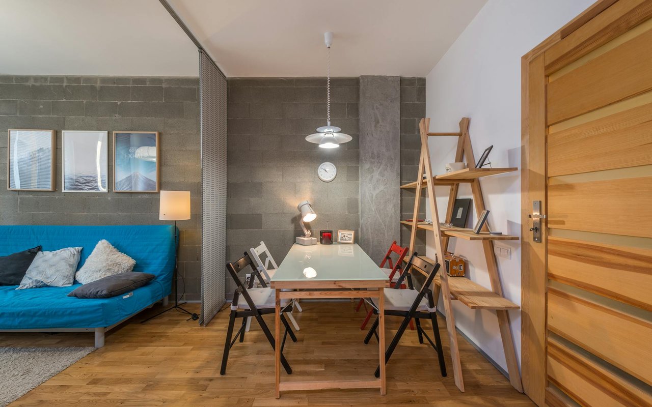
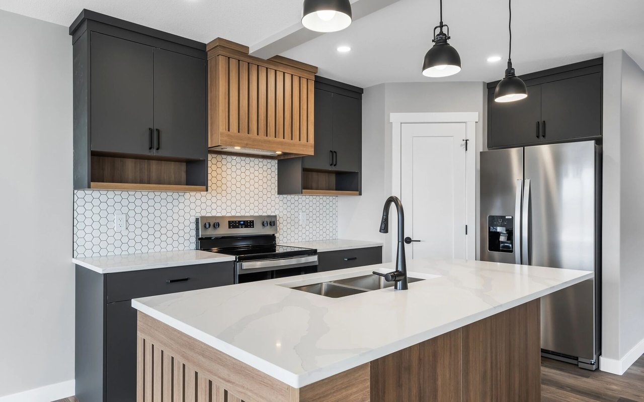
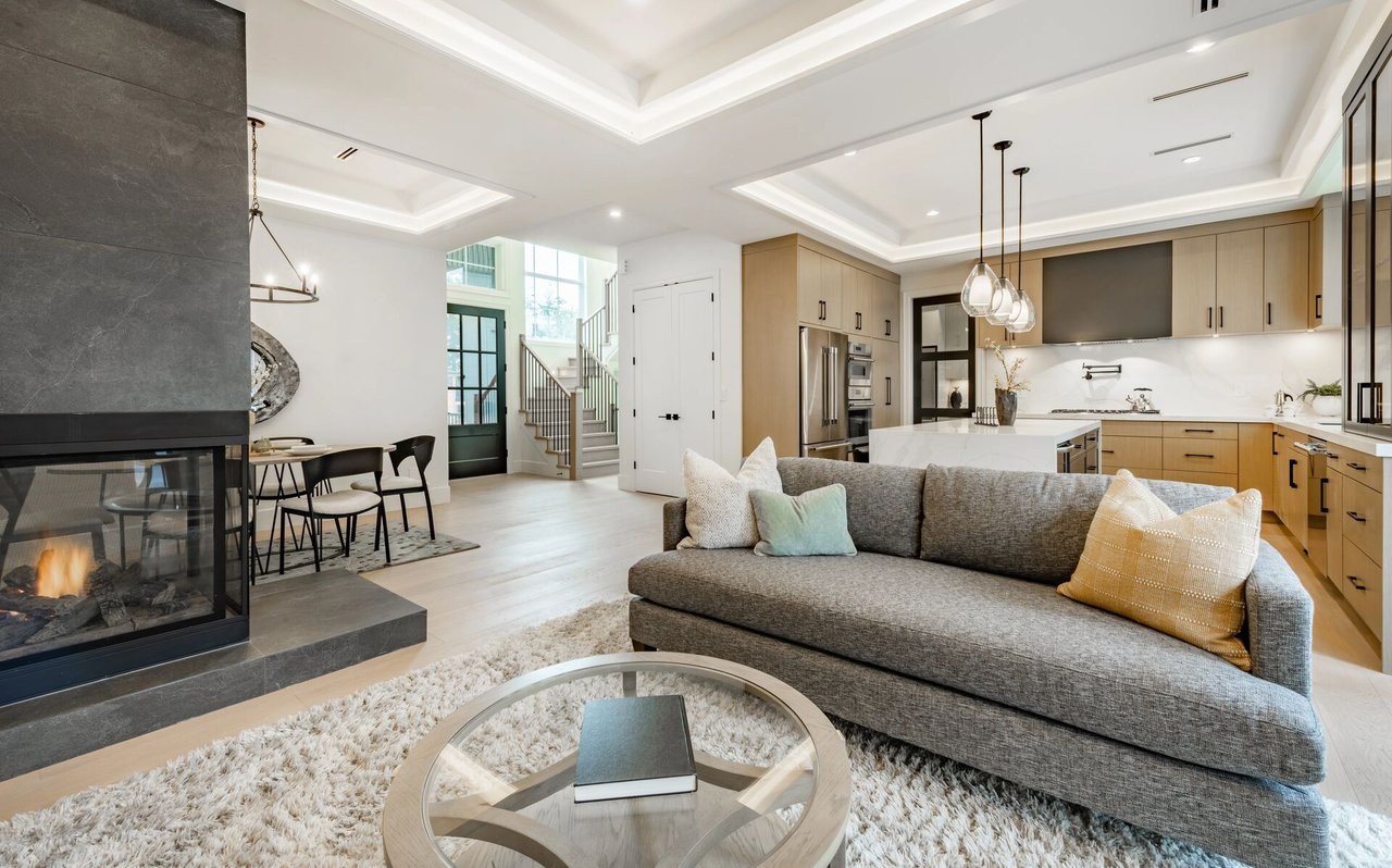
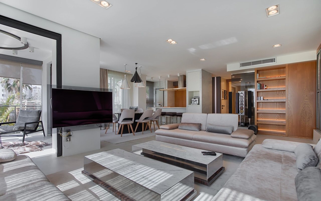
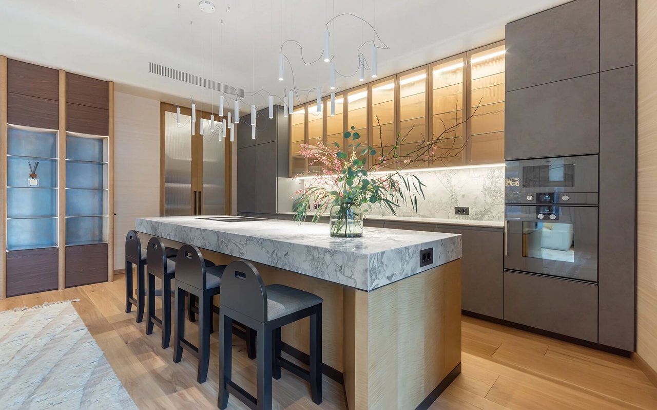
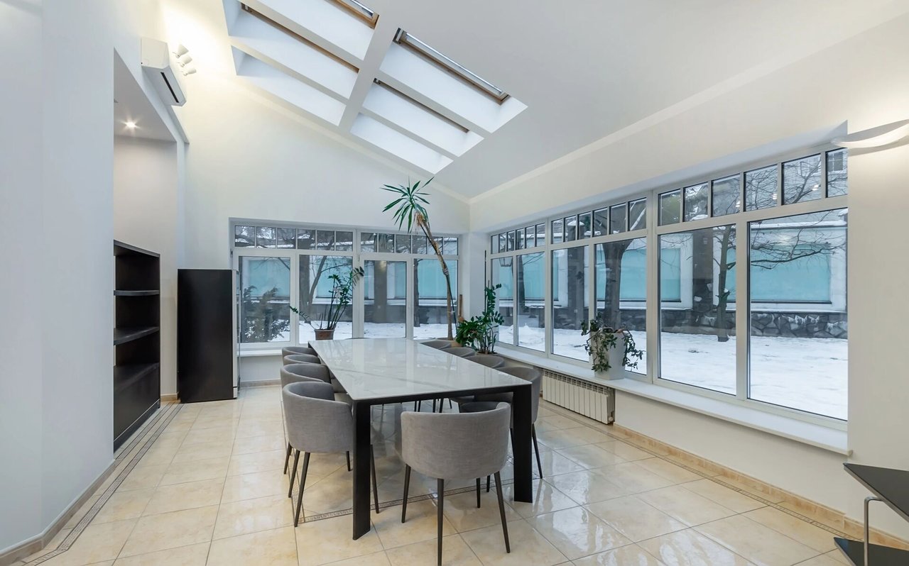
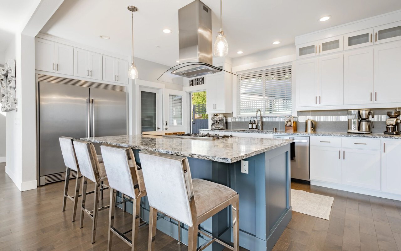
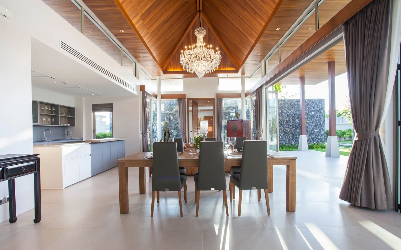
Housing types and what to expect
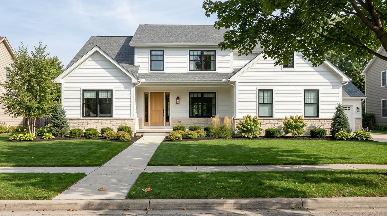
Typical homes and ages
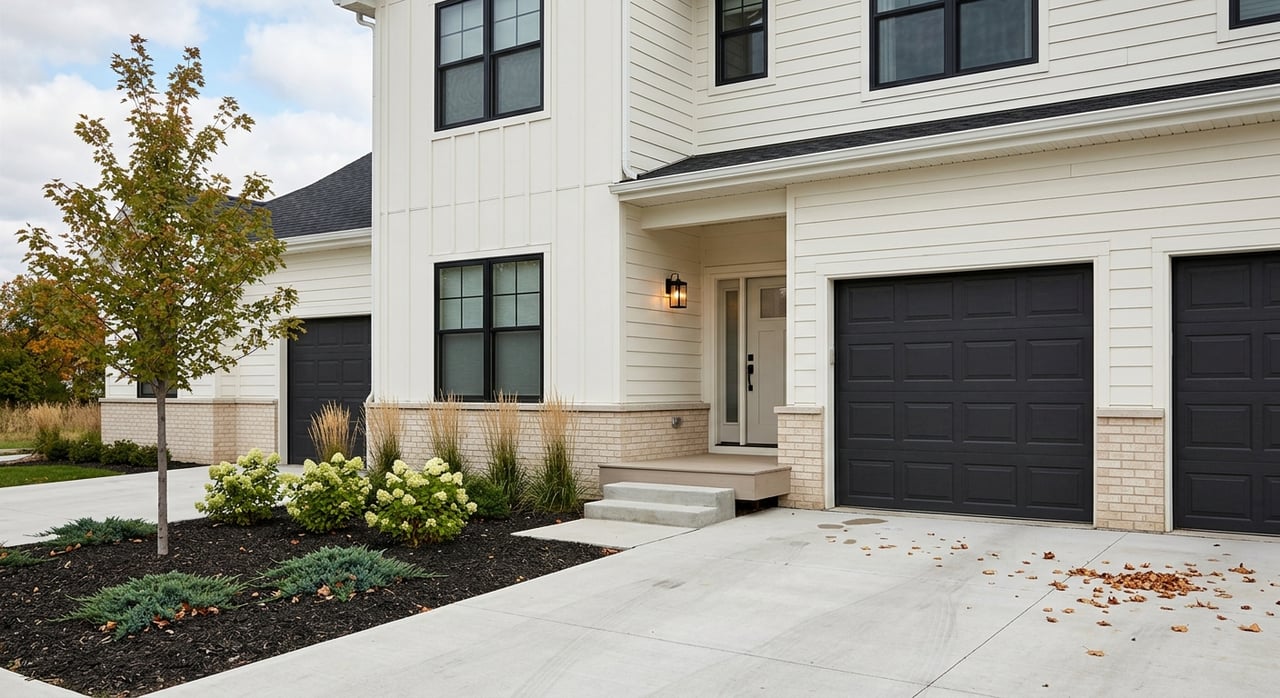
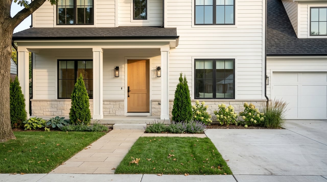
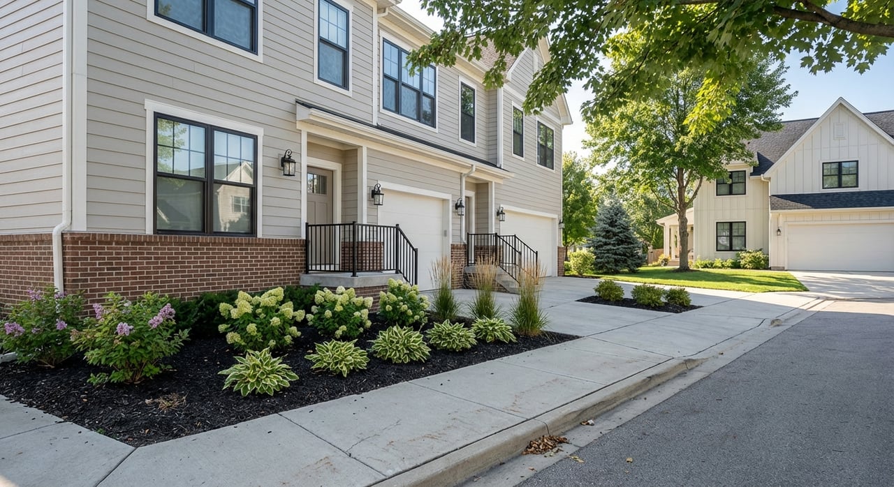
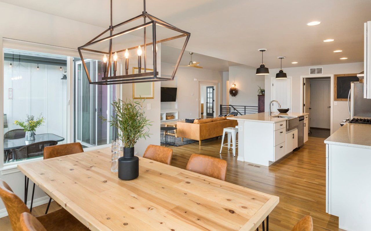
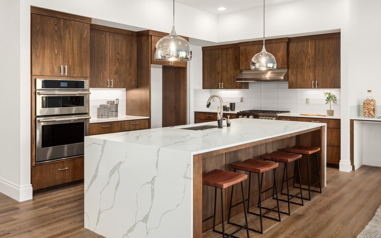
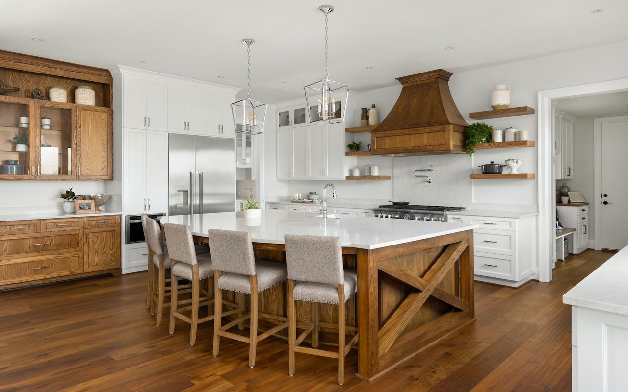
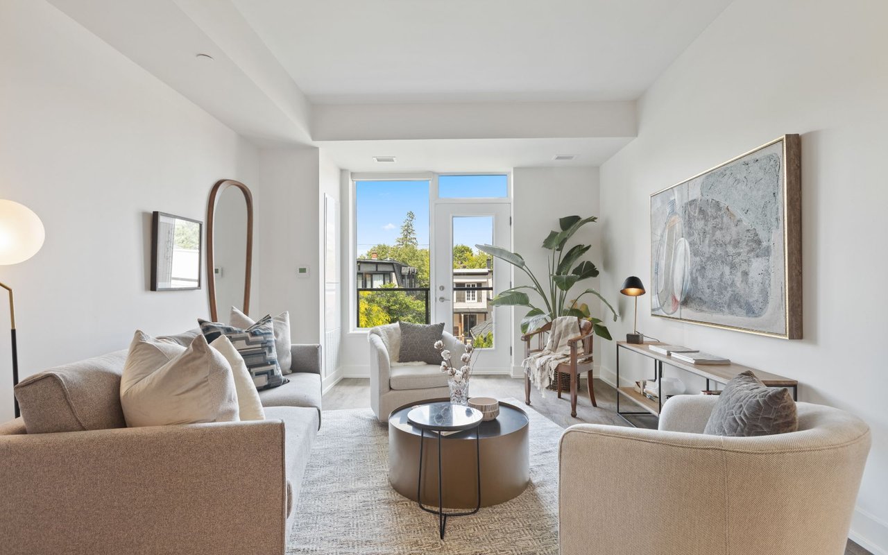
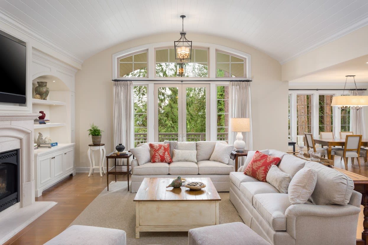
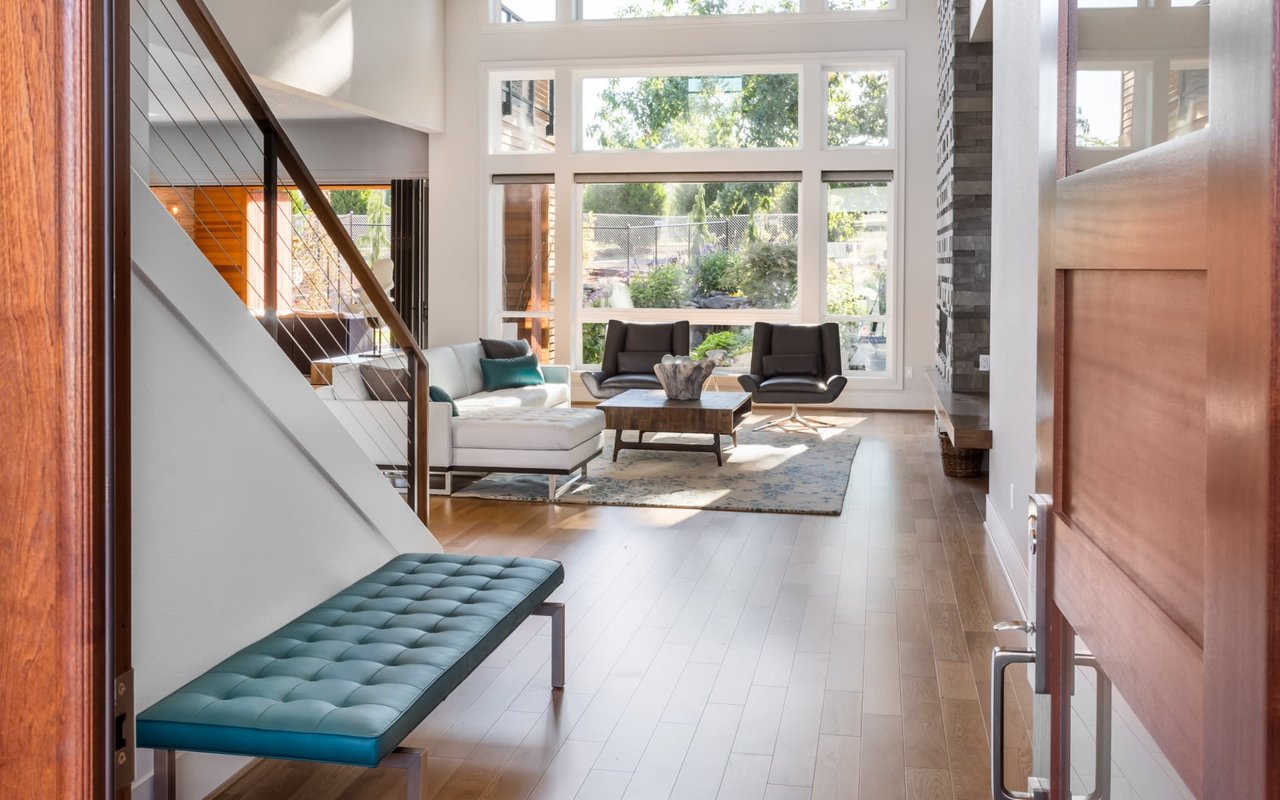
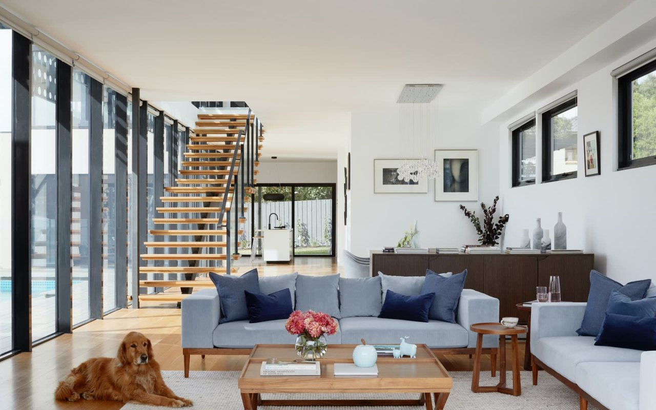
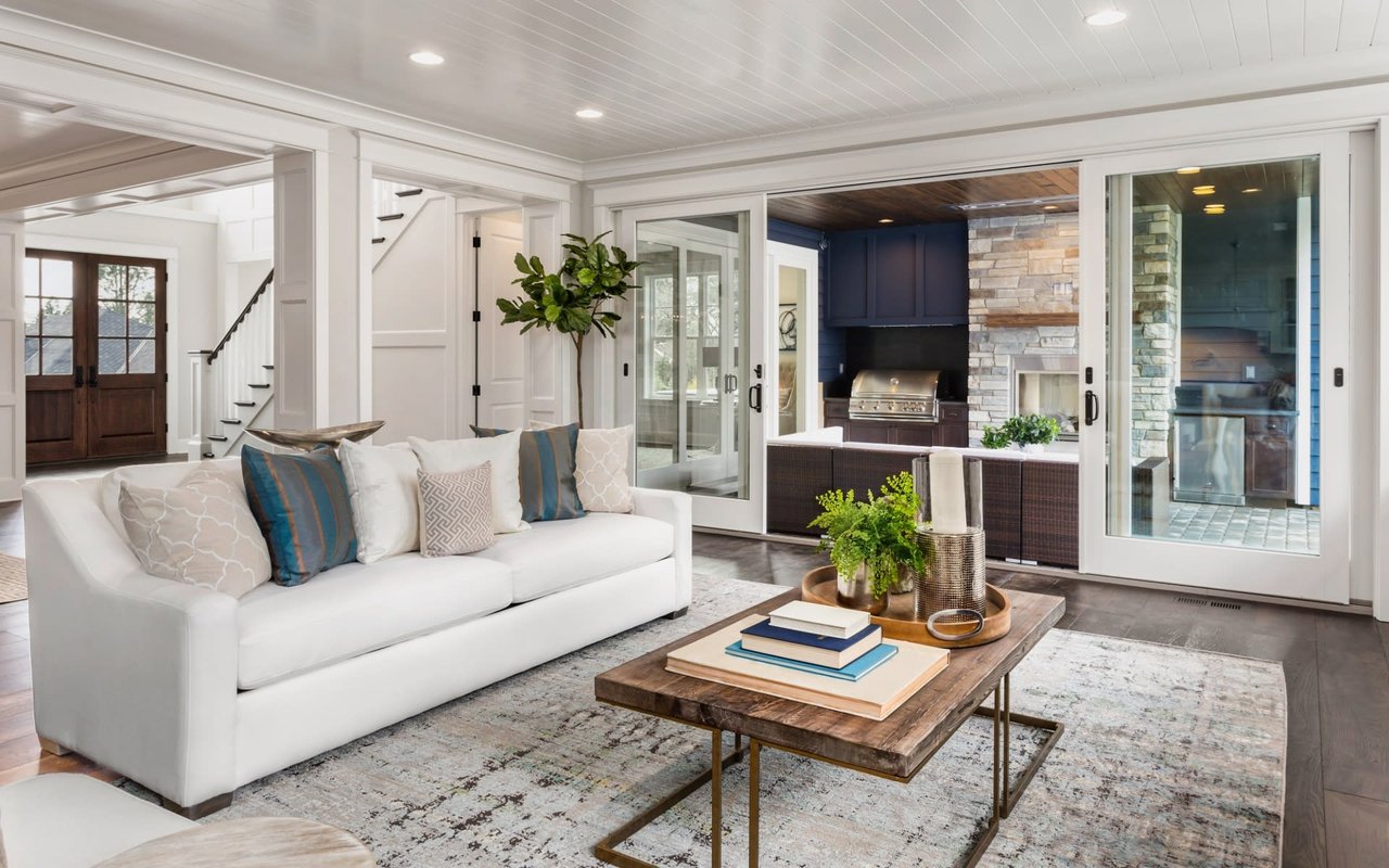
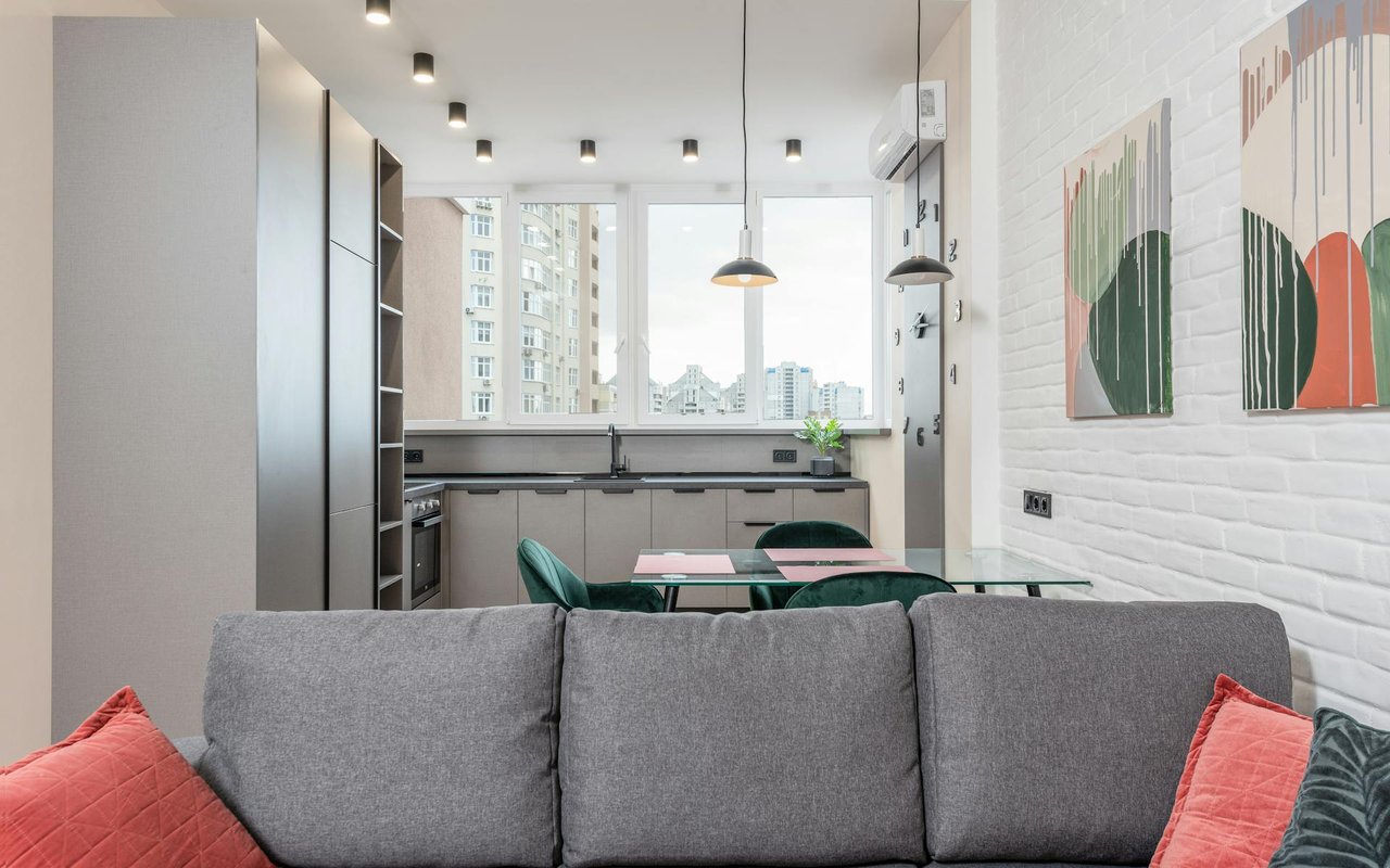
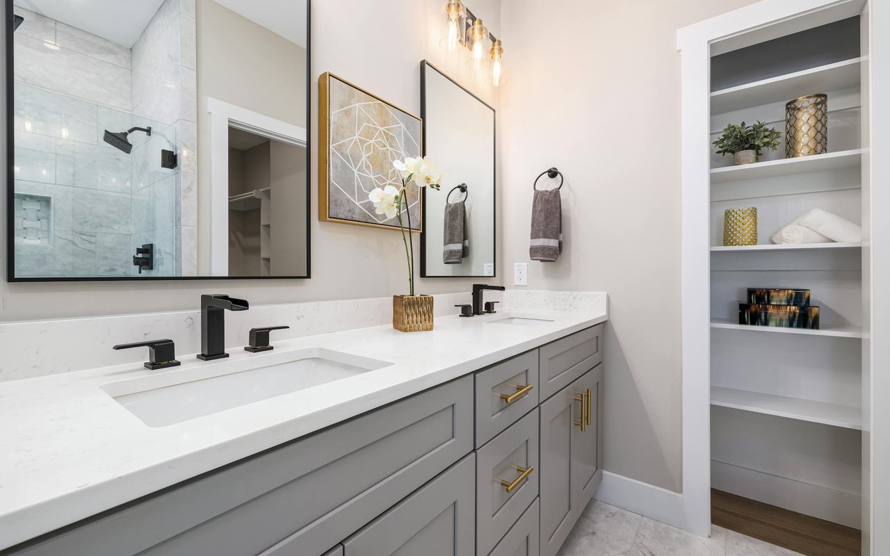
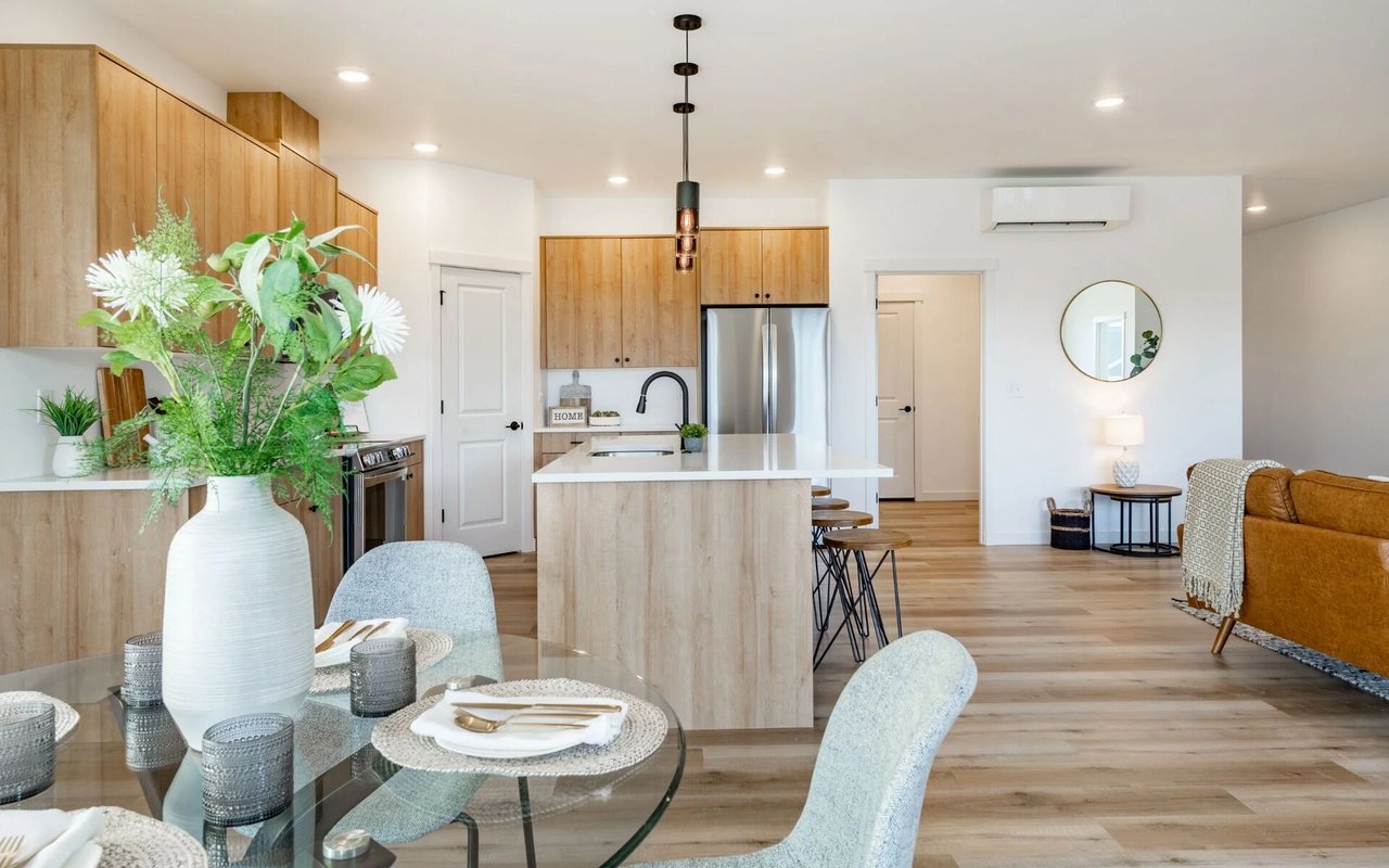
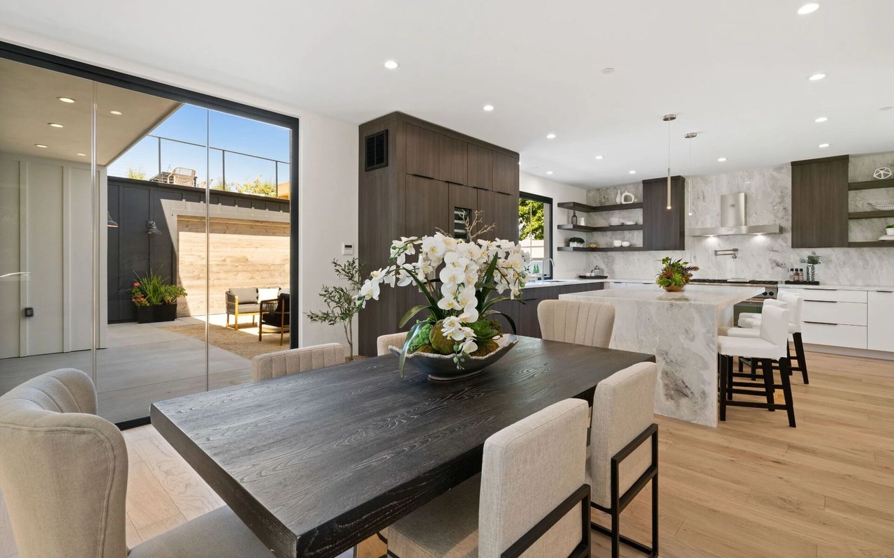
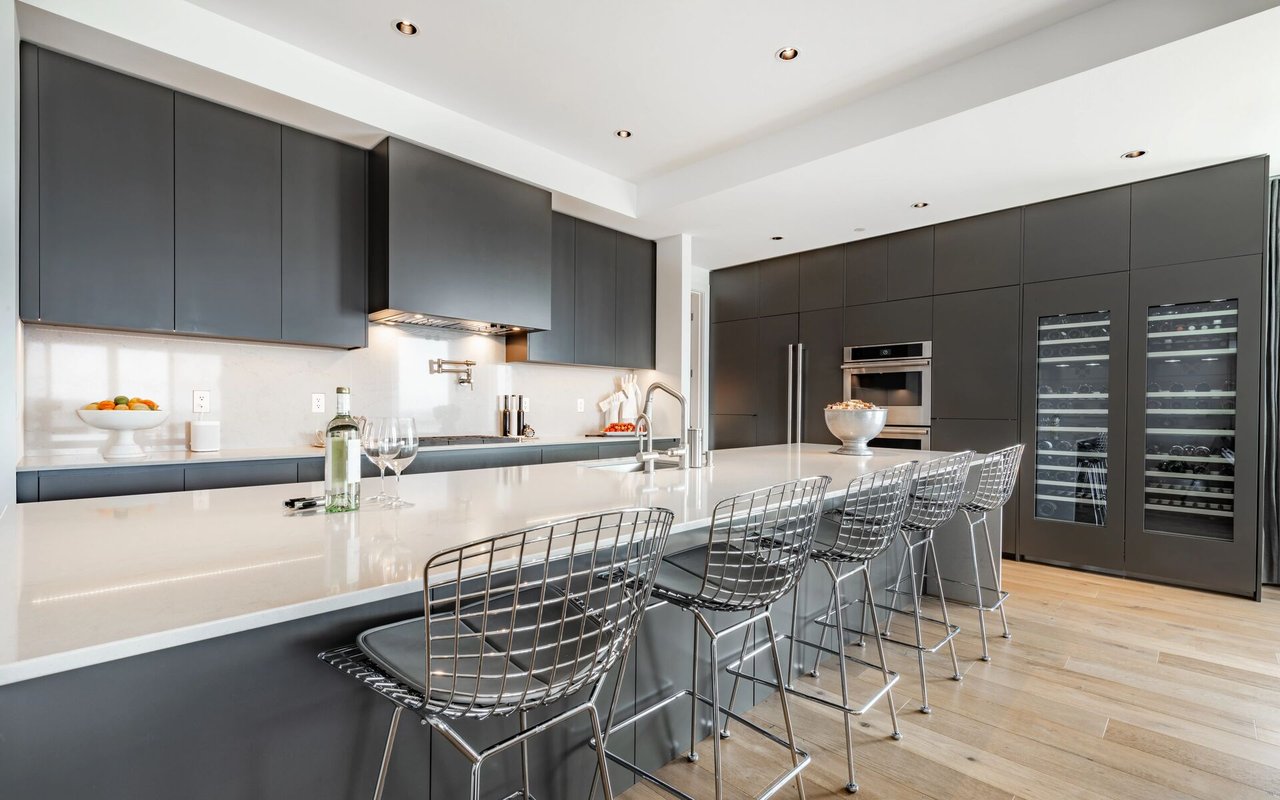
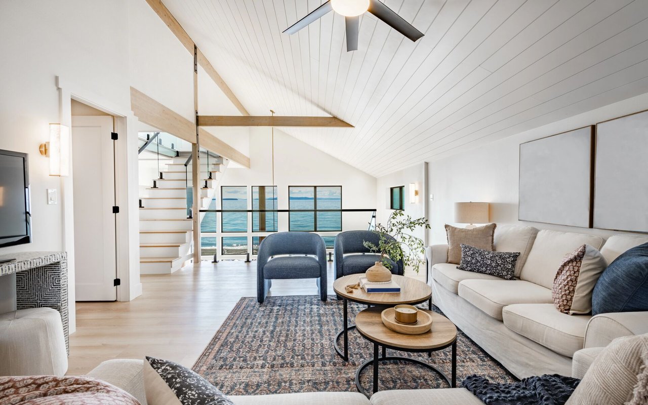
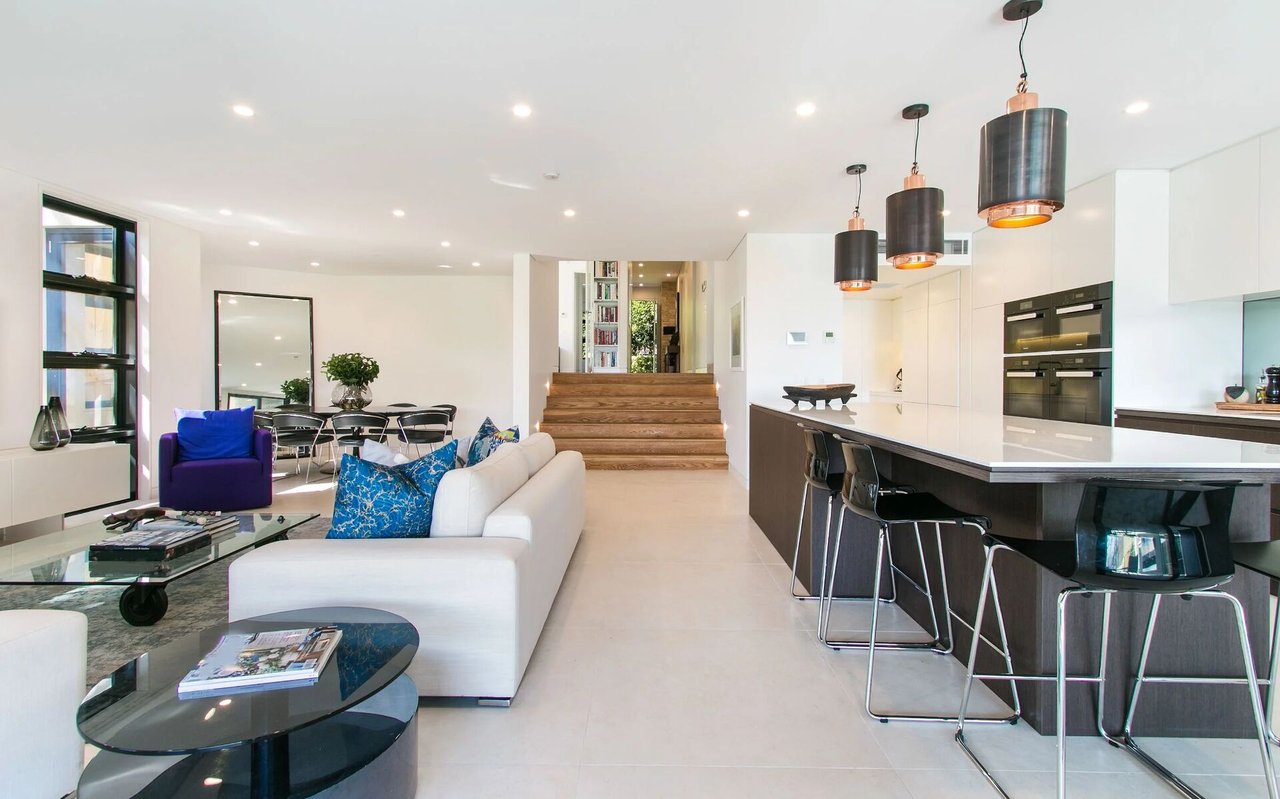
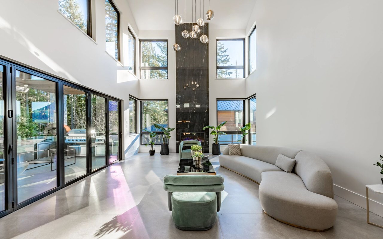
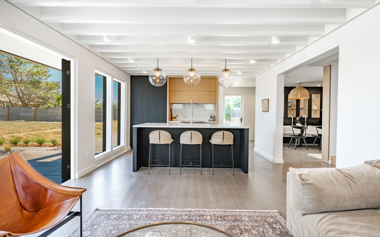
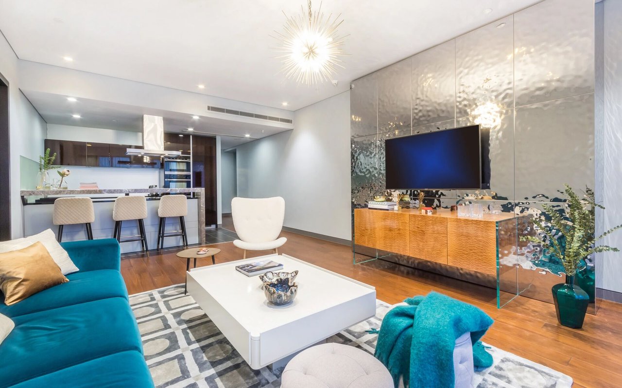
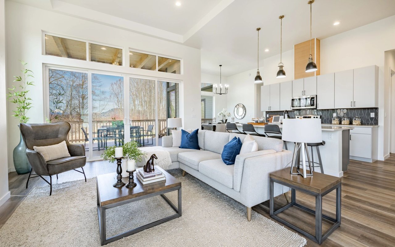
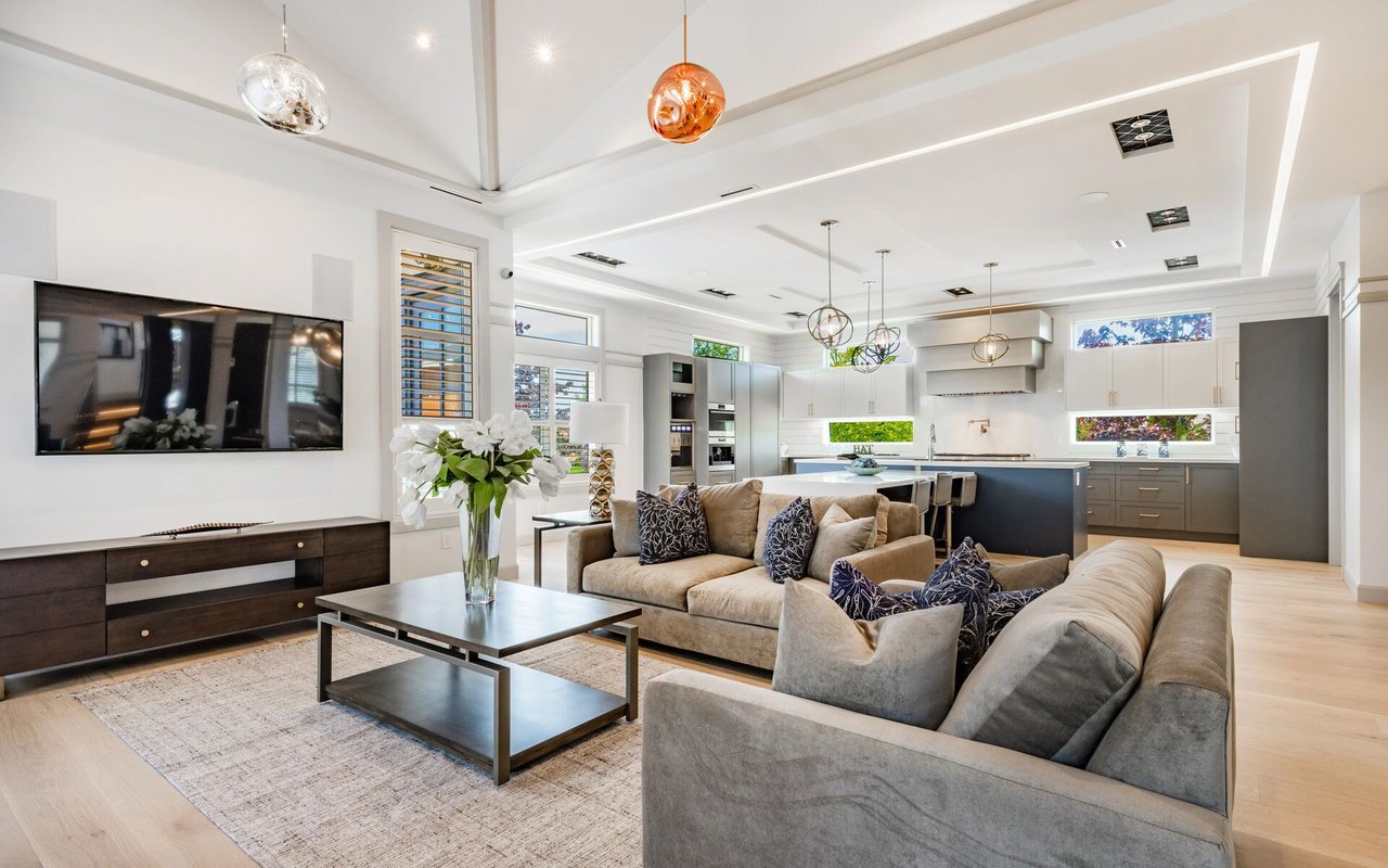
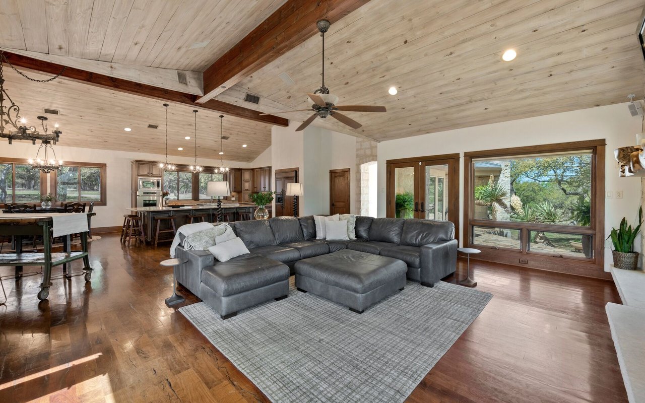
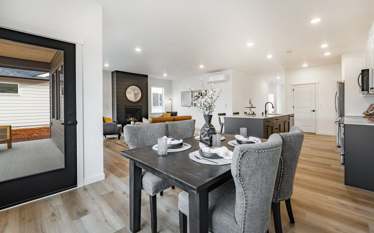
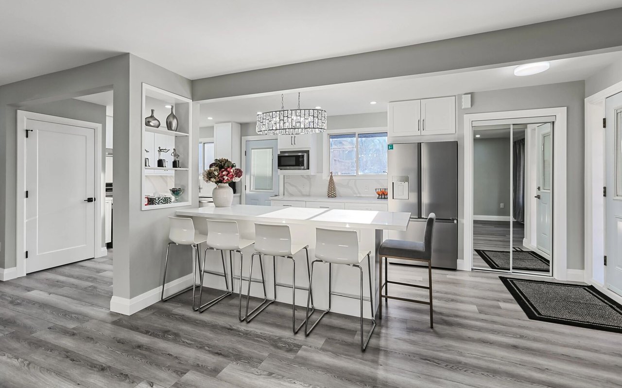
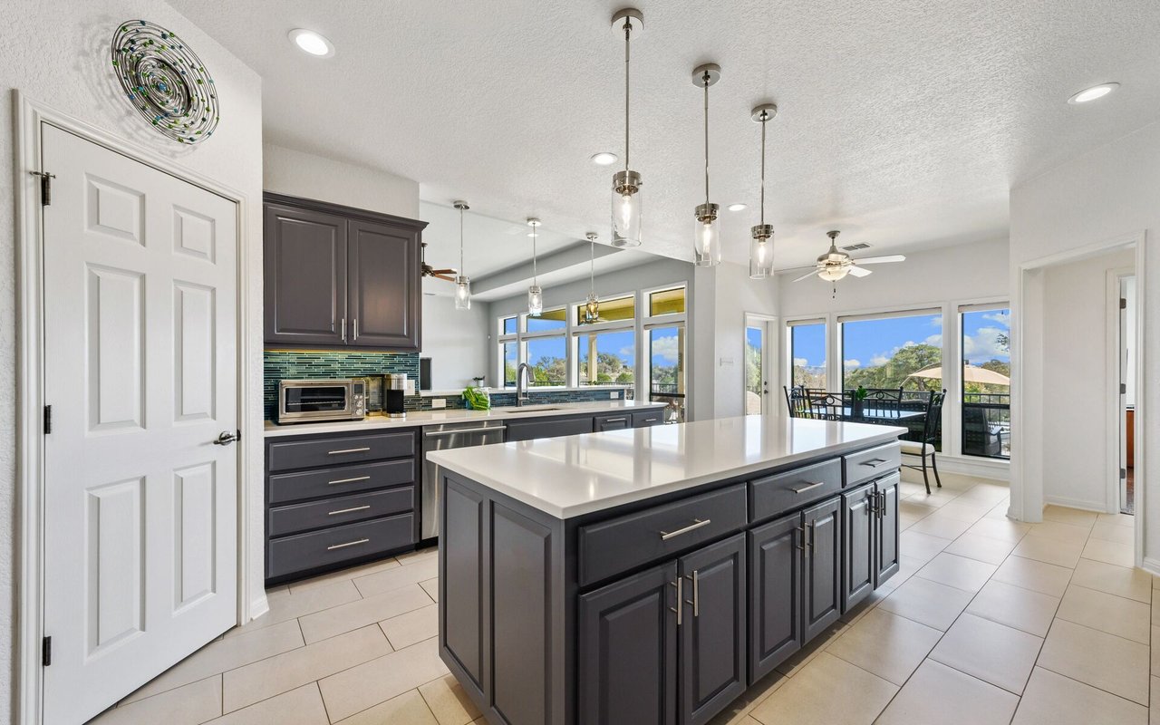
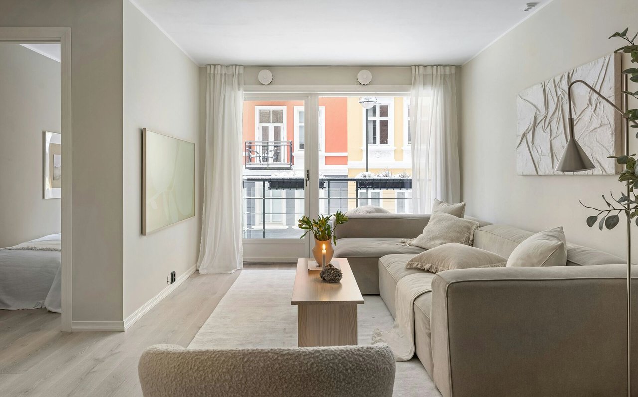
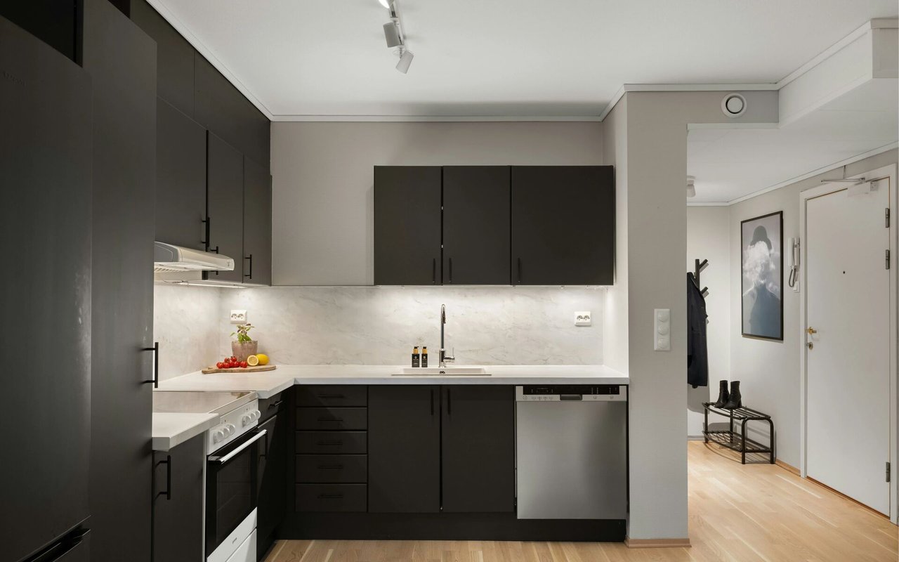
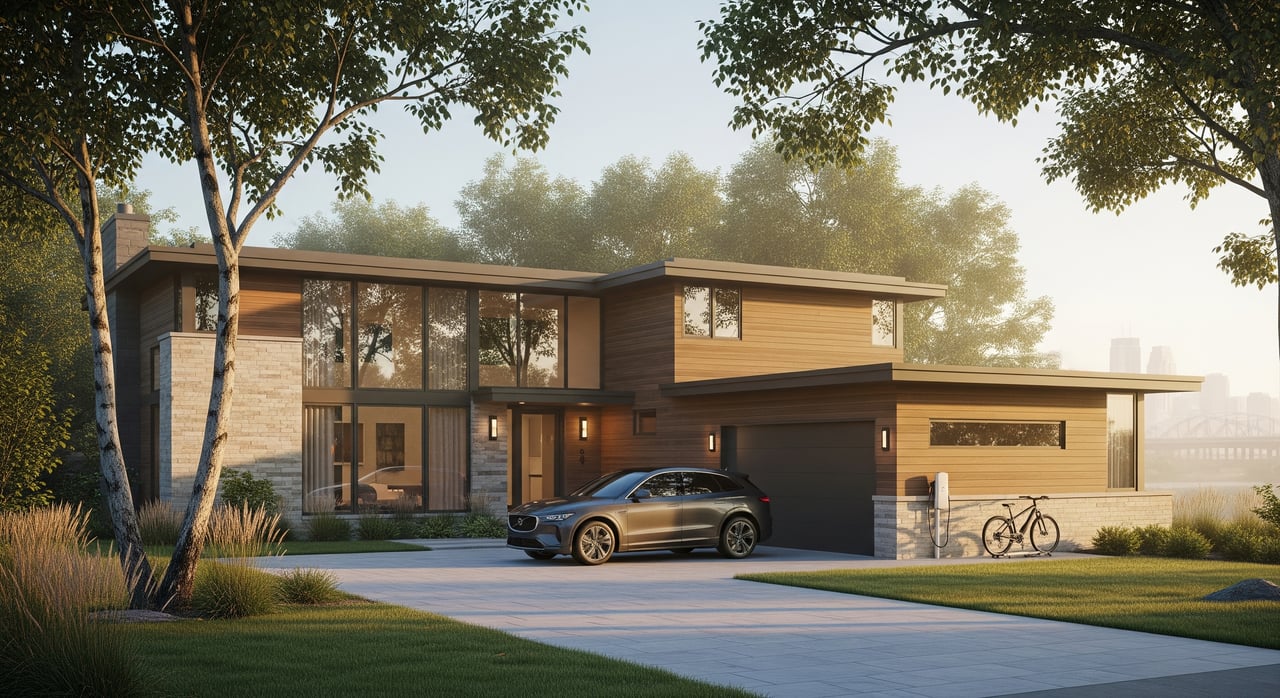
You’ll see a full mix of options: single-family homes in established subdivisions, twin homes and townhouses, and condos and apartments near major corridors and Heart of the City. Much of the housing stock dates from the post–World War II era through the 1980s and 1990s, with newer infill and mixed-use projects in select areas.
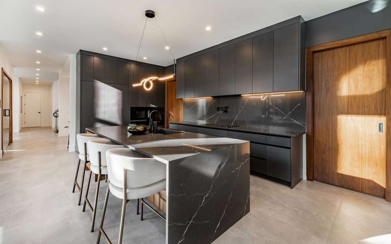
Price and rental context
Condos and townhomes are often the most affordable entry points for buyers, while single-family homes range from modest older ranches to larger, newer builds. Rents vary by building age, location, and amenities, with higher demand near transit and shopping. For up-to-date price and rent trends, review current market reports or ask for MLS-driven data.
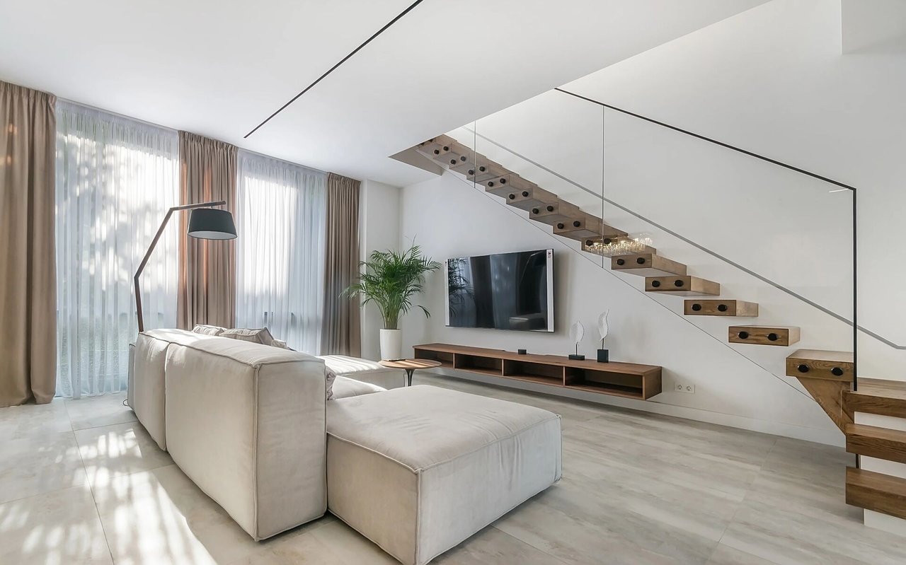
Neighborhood snapshots for commuters
- Heart of the City: More walkable with dining and services close by. Convenient access to transit and shorter walks to amenities.
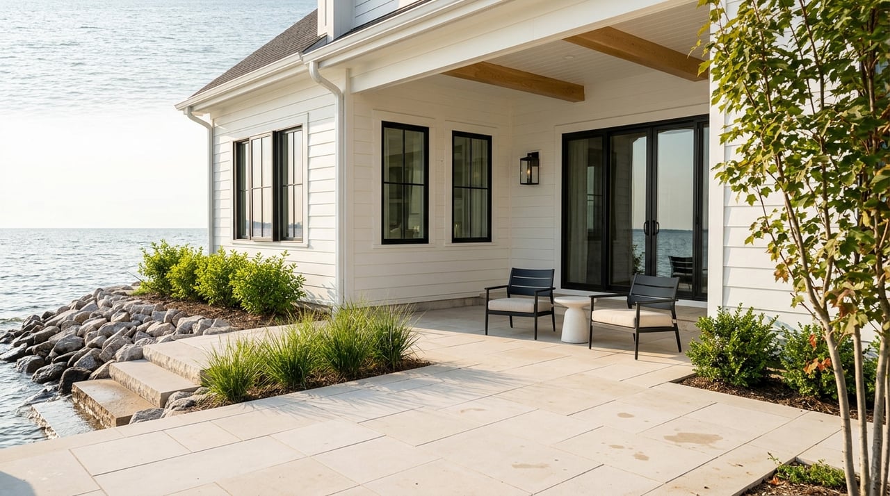
- River bluff areas: Residential pockets near trails and the Minnesota River corridor. Good for outdoor access while keeping reasonable drive times to I-35W.
- County Road 42 corridors: Close to shopping and major arterials, which can shorten local errands and provide quick freeway access.
Pros and cons for commuters
Commuter pros
- Close-in south-metro location that can shorten drives to downtown Minneapolis compared with outer suburbs.
- METRO Orange Line and express buses offer real alternatives to driving.
- Park-and-ride lots and transit hubs make mixed-mode commuting practical.
- Strong local retail and services reduce errand time.
Trade-offs to consider
- Rush-hour congestion on I-35W and key arterials can be unpredictable.
- Transit frequency is strongest during peak times and core corridors; off-peak or reverse commutes may require planning.
- Some neighborhoods are more auto-oriented, so your last-mile connection to transit matters.
Practical tips before you buy or rent
- Test your commute during your actual work hours by both car and transit.
- Review Metro Transit schedules and park-and-ride options that match your start and end times.
- Factor in winter travel. Check MnDOT updates and give yourself margin during storms.
- When touring homes, note school boundaries, transit proximity, and arterial access if you depend on BRT or express buses.
- Use district dashboards, local maps, and property-tax information to compare neighborhoods.
Ready to make your move?
If Burnsville fits your commute and lifestyle, you deserve clear next steps and real-time market insight. Our team lives and works in the south metro, and we pair on-the-ground neighborhood knowledge with MLS-backed tools to help you act with confidence. To get a tailored list of homes near your preferred routes or stations, reach out to the Huerkamp Home Group.
FAQs
How long is the commute to downtown Minneapolis from Burnsville?
- Typical non-peak drives run about 20 to 35 minutes, with longer times during rush hour. Always test your route at your normal start and end times.
What transit options connect Burnsville to Minneapolis?
- Metro Transit runs express buses and the METRO Orange Line BRT along I-35W, with park-and-ride locations that make mixed-mode trips practical.
Are there walkable areas with dining in Burnsville?
- Yes. Heart of the City and parts of downtown Burnsville offer restaurants and local shops in a more walkable setting.
Is Burnsville generally more affordable than some inner-ring suburbs?
- In many cases Burnsville is more affordable than higher-priced inner-ring areas, though pricing varies by property type and location. Review current market data for specifics.
Can I bike to transit stations in Burnsville?
- Yes. Local trails and bike lanes support short rides to park-and-ride facilities or Orange Line stations, which can simplify the last mile of your commute.